
ORDNANCE SURVEY
Historic Maps
Digitisation of historic OS mapping and specialist cartographic collections.
Professional digitisation of Ordnance Survey maps, historic plans, survey maps and large-format mapping collections, with careful handling and high-resolution digital capture.
Discuss Your Project →Professional digitisation of Ordnance Survey maps, historic plans, survey maps and large-format mapping collections, with careful handling and high-resolution digital capture.
Digitisation of historic OS mapping and specialist cartographic collections.
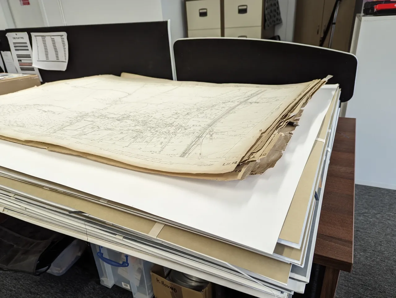
Large-format maps can be captured for preservation, research and improved access.
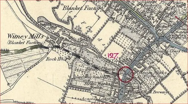
Create high-quality digital preservation copies while reducing handling of fragile originals.
We can work with individual originals or complete collections, with careful preparation, large-format capture and quality control throughout the project.
The existing service describes digitisation of Ordnance Survey maps across different materials including parchment, linen, cotton and paper.
Suitable for historic mapping collections, survey plans and large cartographic originals.
Existing site information describes WideTEK/contactless and wide-format scanning workflows, including high-resolution capture.
Digital copies make collections easier to consult, share, print and use while protecting the physical originals.
Prices exclude VAT. Final quotations depend on condition, preparation, size and required output.
| Size / Service | 1+ | 10+ | 25+ | 100+ |
|---|---|---|---|---|
| A2 | £9.00 | £8.00 | £7.00 | £6.00 |
| A1 | £12.00 | £10.00 | £9.00 | £8.00 |
| A0 | £15.00 | £13.00 | £11.00 | £10.00 |
Contact Oxford Duplication Centre for advice, a quotation or to arrange a sample scan.
Contact Oxford Duplication Centre →